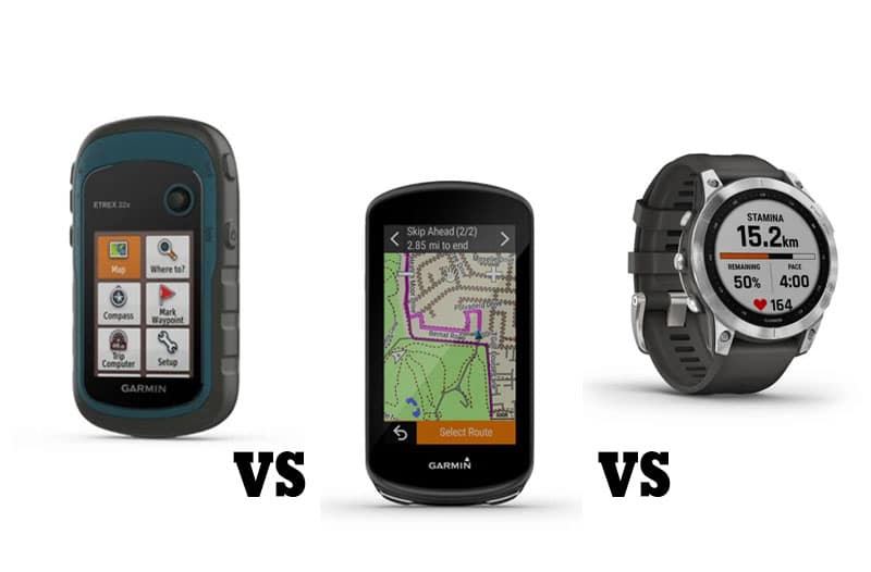
Latest GPX related articles
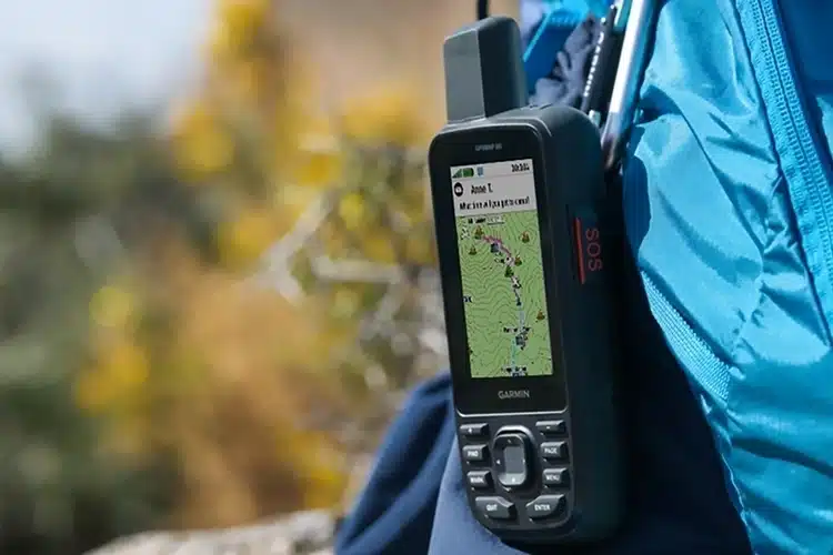
Learn more about the latest GPS devices for hiking adventures.
How to use our GPX files
We share our GPX files so that you can go and experience our outdoor adventures yourself. When you download a GPX file from our site it will download as a compressed .zip file. Follow the steps below to convert to a .gpx file:
1
Download
Click on “download GPX” and you will download the compressed ZIP file on your computer (probably in “downloads” folder).
2
Unpack
Before you can use this on your gps you will have to “unpack” the ZIP file to the GPX file. On mac and windows double click on the ZIP file and it will convert to the GPX file. If that doesn’t work right click on the ZIP file and look for the unzip option.
3
Upload and Use
You can now use the GPX file and upload it to the platform or device of your choice
Trôs Marets Canyon (BE)
Difficulty: Easy
Intesity: Easy
Duration: 2 hours
Length: 5 km
Vertical meters: 168m
More info
Download Trôs Marets GPXRead disclaimer before use
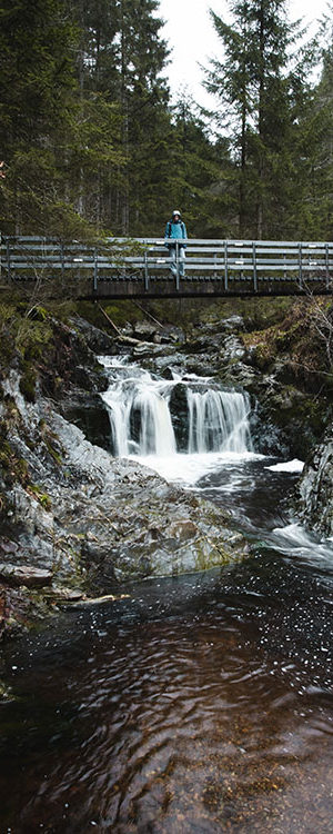
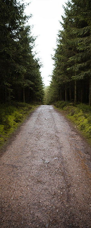
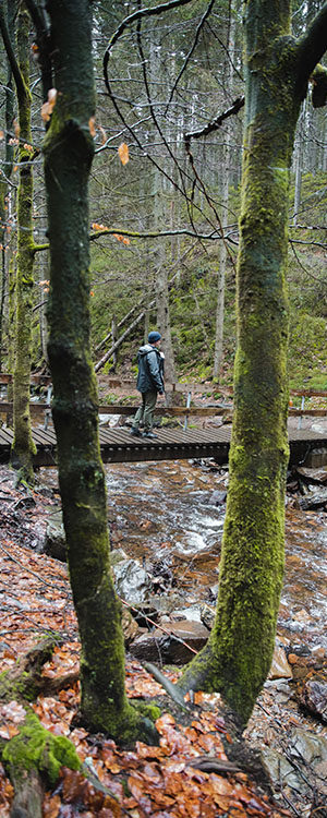
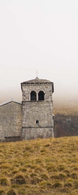
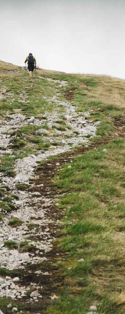
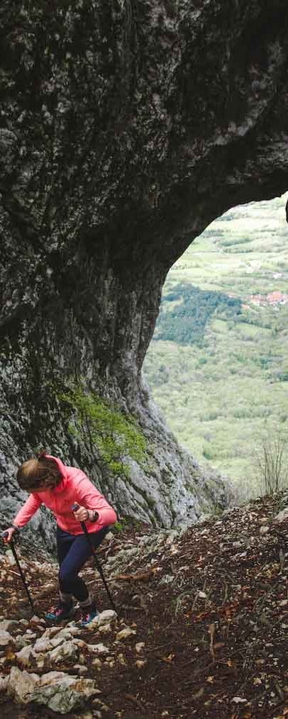
Nanos + Otlica window (SL)
Difficulty: Easy (Nanos) – Moderate (Otlica)
Intesity: Moderate
Duration: 4 – 1 hours
Length: 12km (Nanos) – 2,5 km (Otlica)
Vertical meters: 1100 m (Nanos) – 555m (Otlica)
More info
Download Nanos hike gpxDownload Otlica GPXRead disclaimer before use.
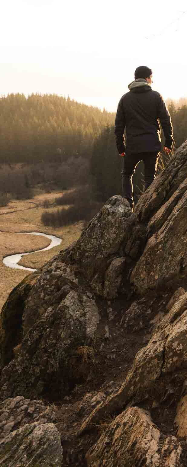
Rocher du Bieley (BEL)
Difficulty: Easy
Intesity: Easy
Duration: 4 hours
Length: Long route 9,5 km, short route 5 km
Vertical meters: 141 m
More info
Download GPX (German route)Download GPX (short route)Read disclaimer before use.
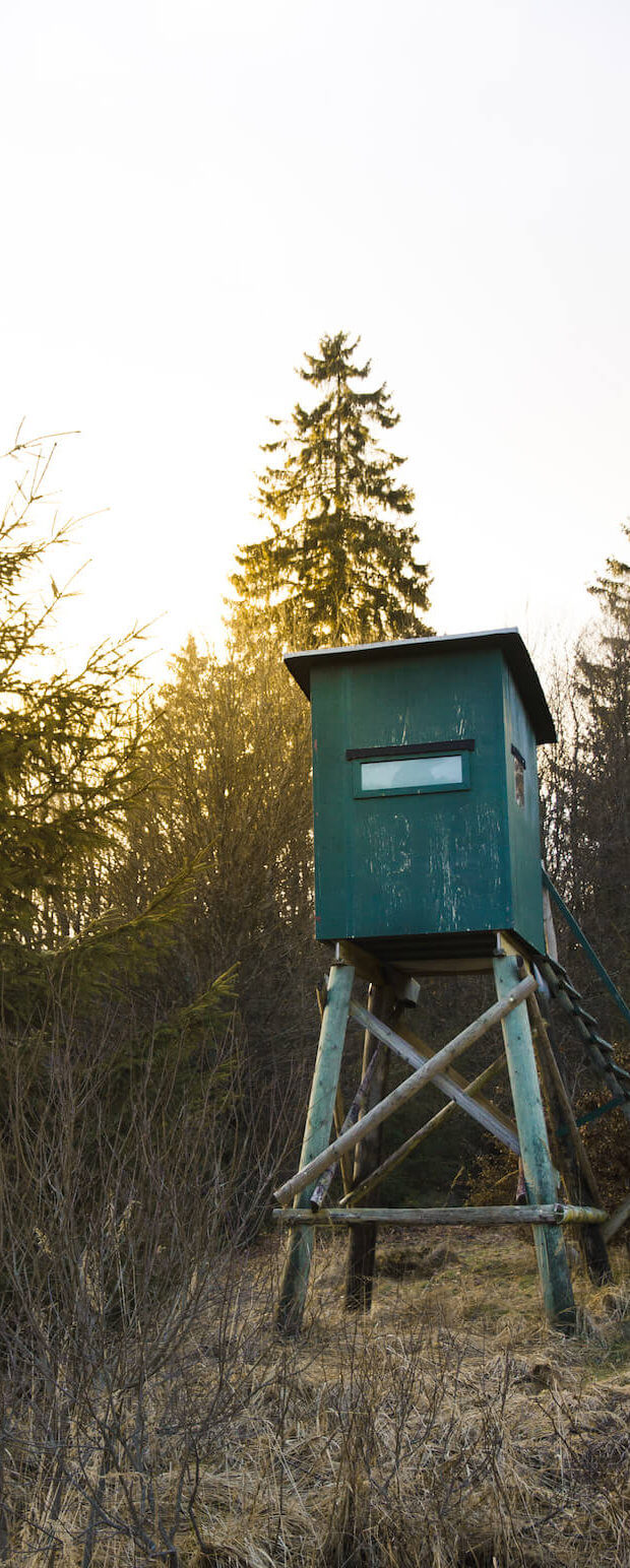
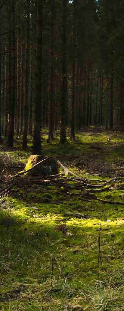
Lago di Sorapis (IT)
Difficulty: Advanced
Intensity: Moderate
Duration: 2,5 hours one way – 5 to 6 hours back and forth
Length: 8 km one way
Vertical meters: 500 m
More info
Download GPXRead disclaimer before use.
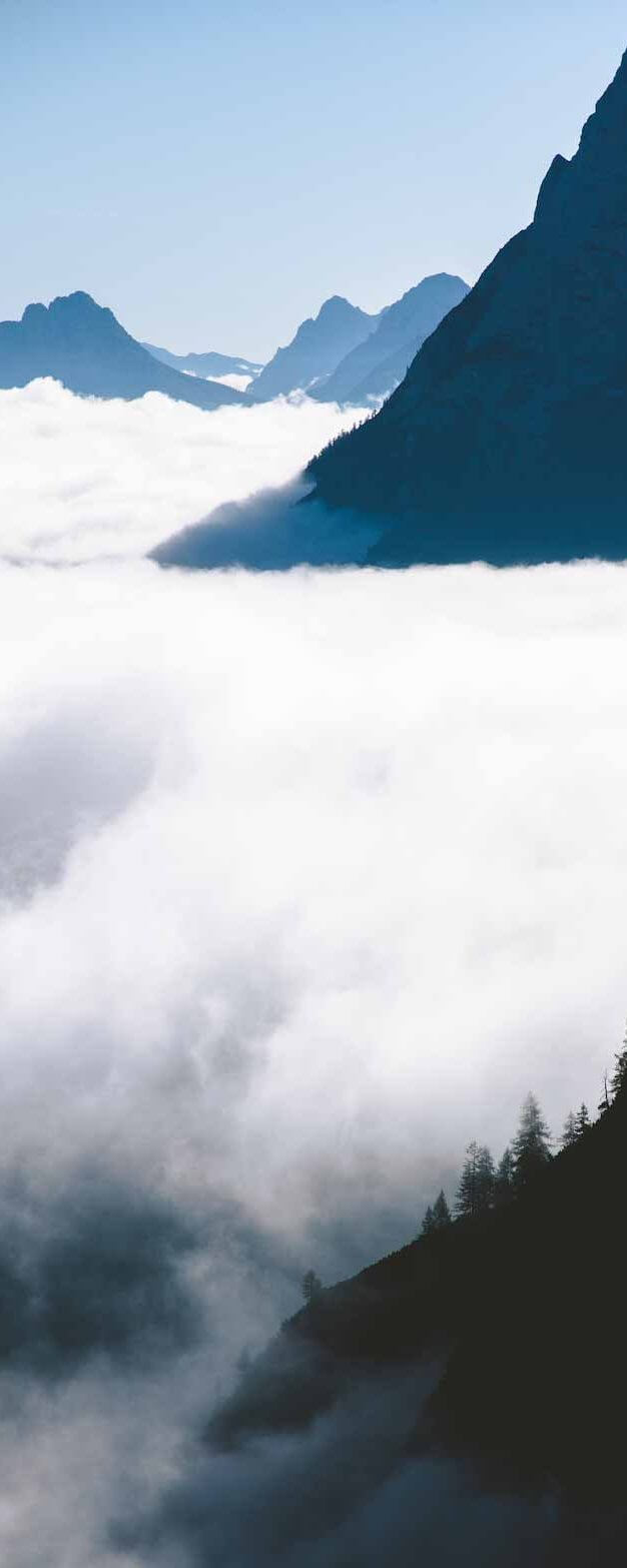
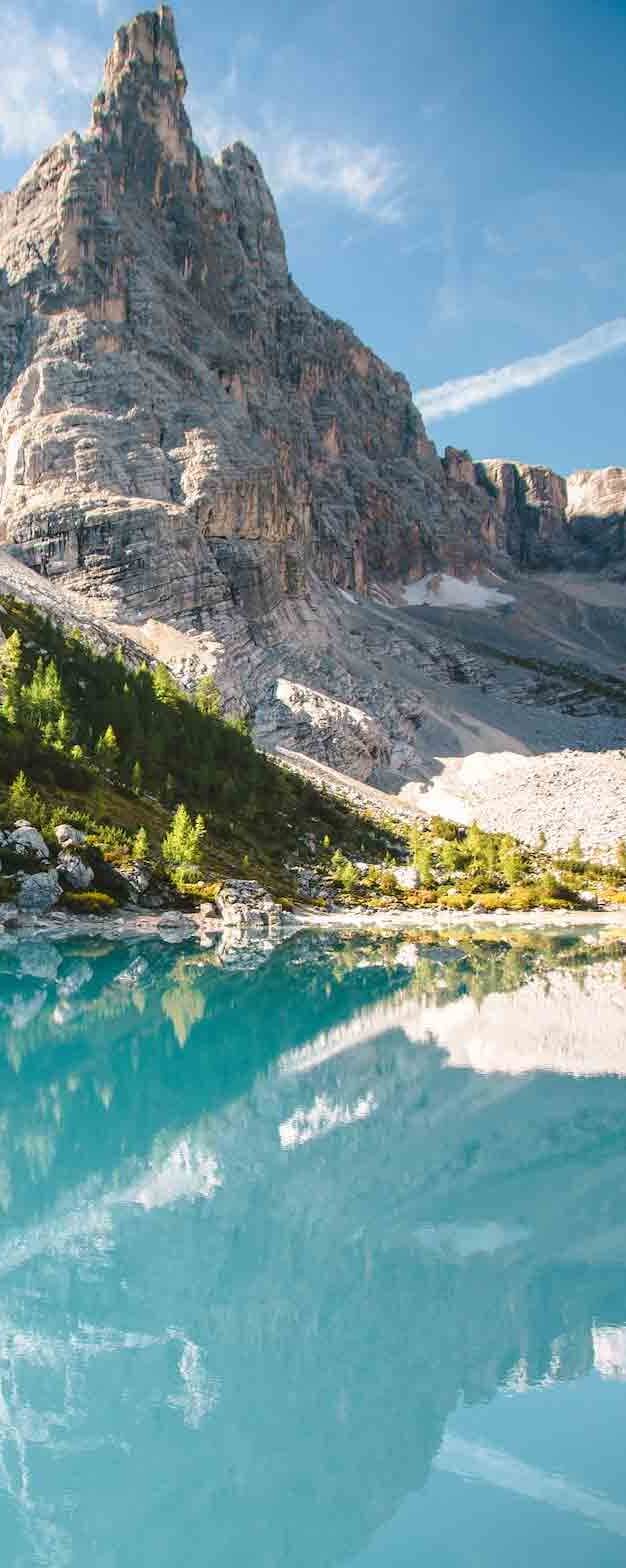
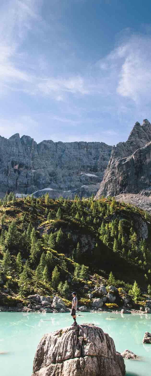
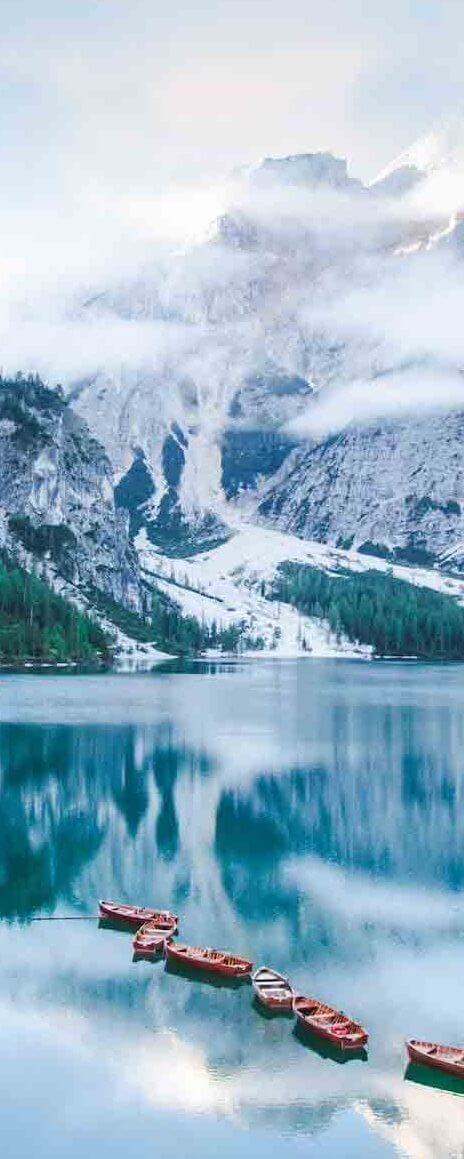
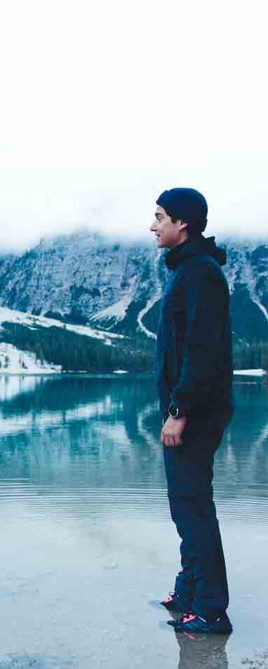
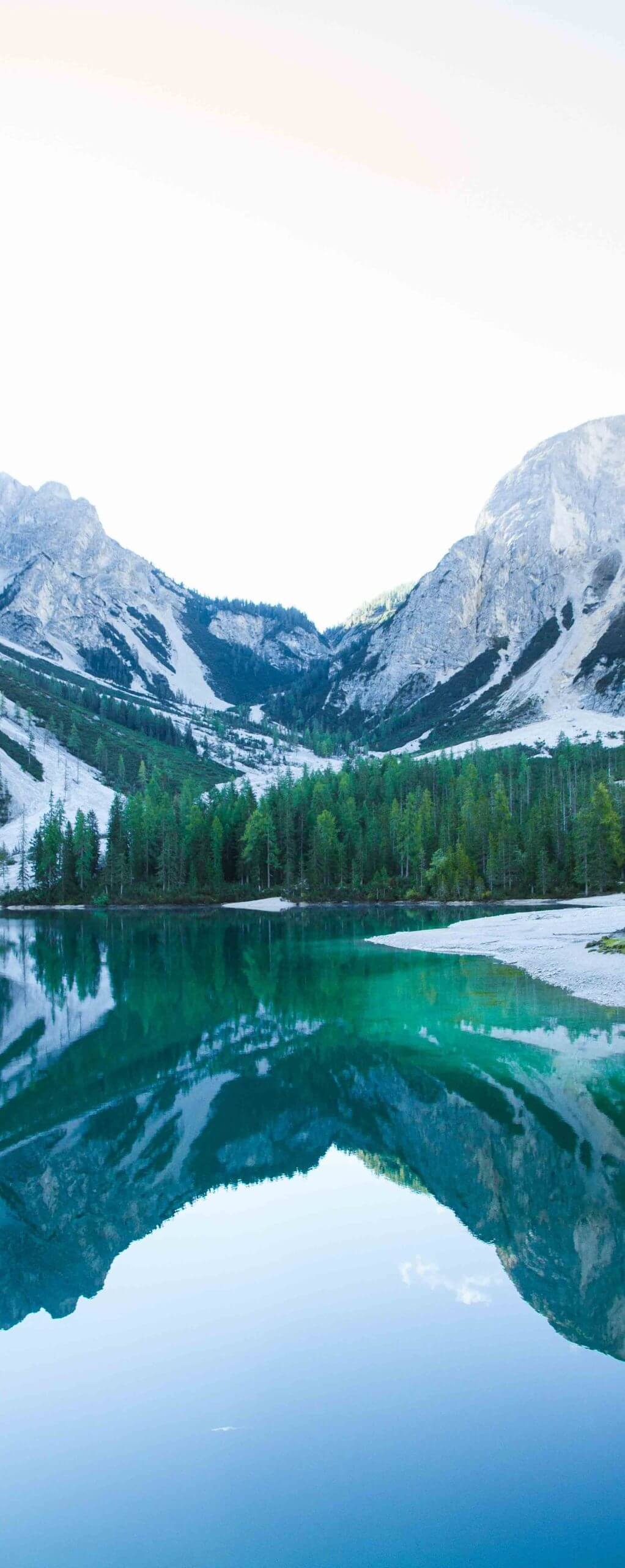
Lago di Braies (IT)
Difficulty: Easy
Intensity: Moderate
Duration: 1 – 1,5 hours
Length: 3,5 km
Vertical meters: 50 m
More info
Download GPXRead disclaimer before use.
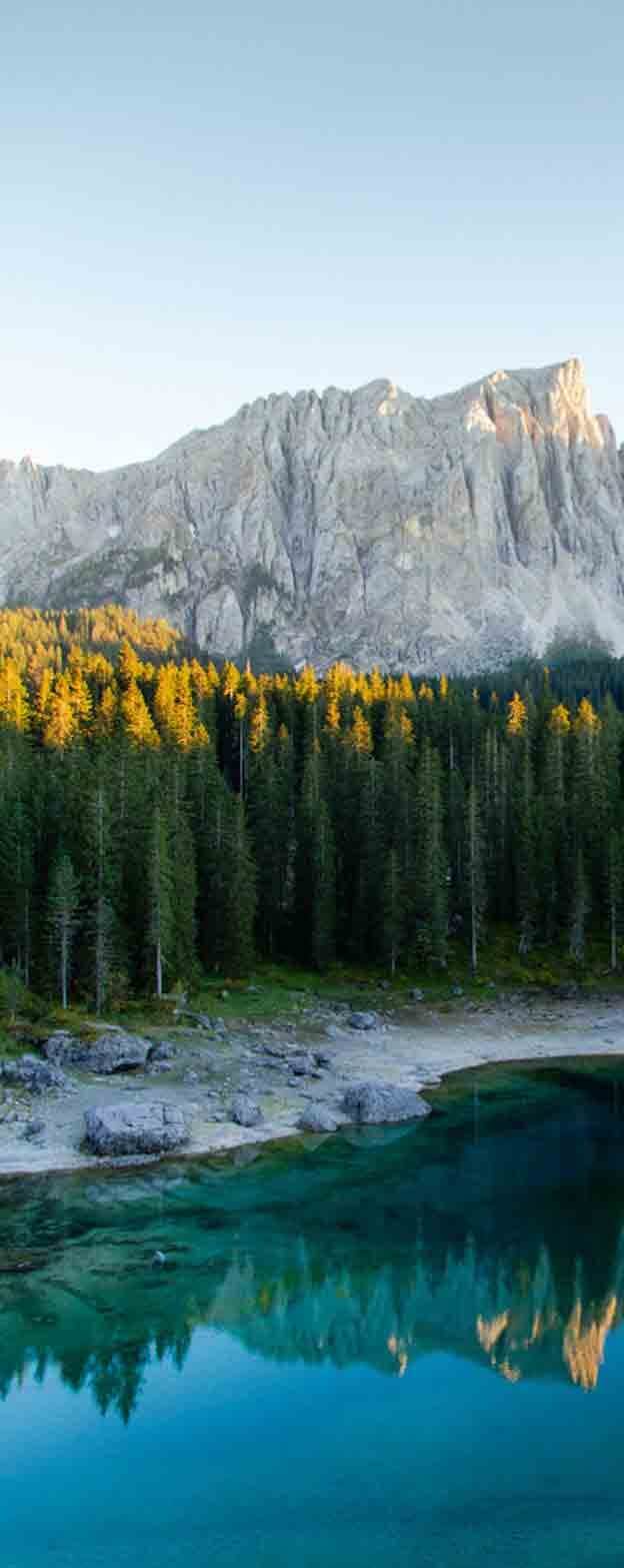
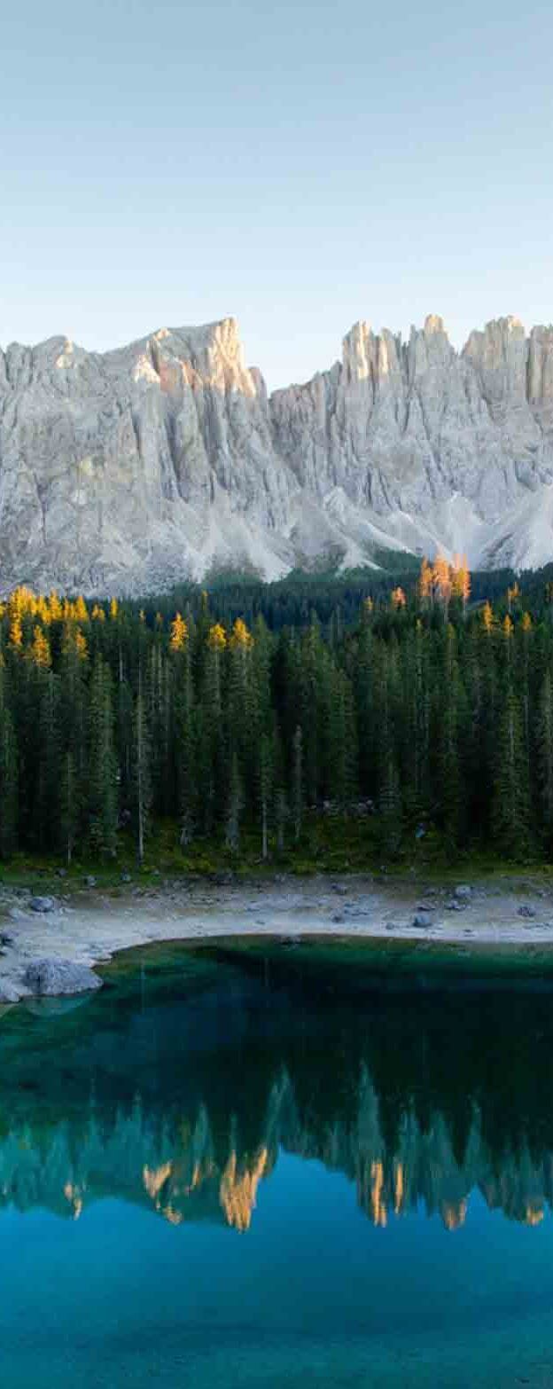
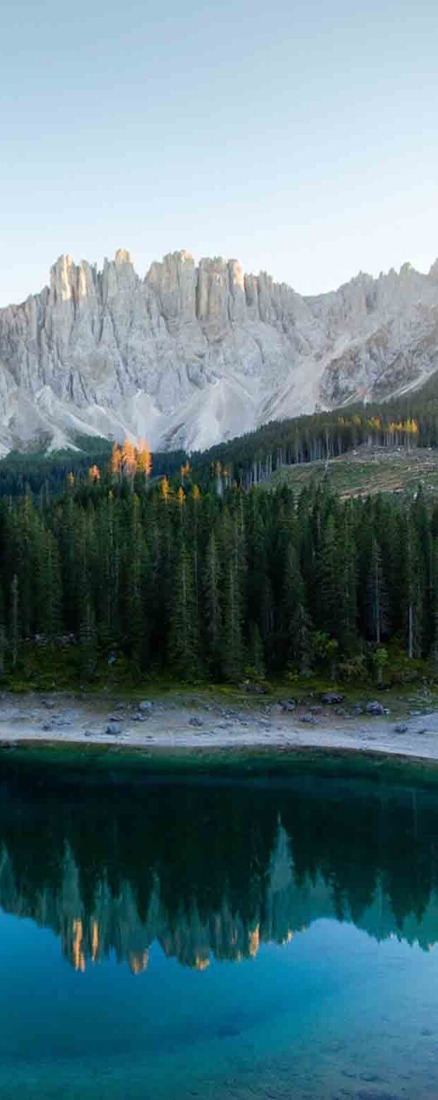
Lago di Carreza (IT)
Difficulty: Easy
Intensity: Easy
Duration: 20 min
Length: 1 km
Vertical meters: 10 m
More info
Download GPXRead disclaimer before use.
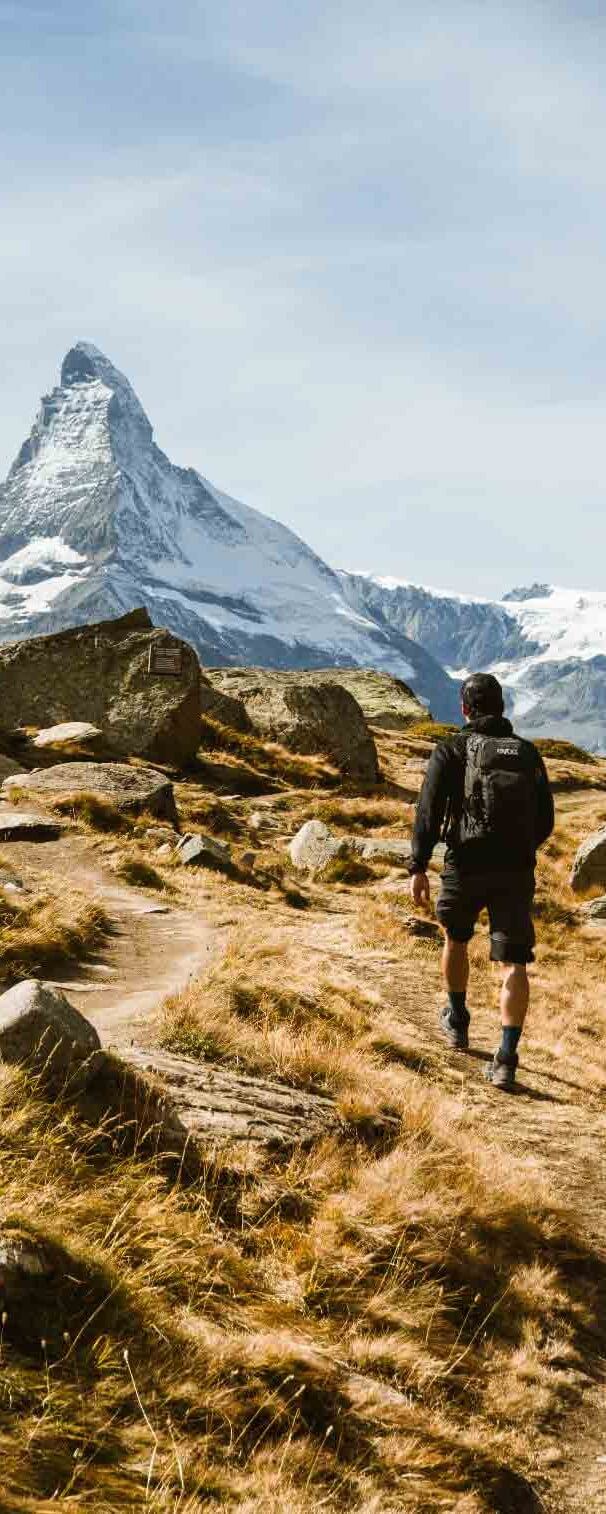
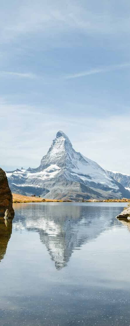
Matterhorn 5 lakes hike (CH)
Difficulty: Moderate
Intensity: Moderate
Duration: 3-4 hours
Length: 12 km
Vertical meters: 220 m
More info
Download GPXRead disclaimer before use.
