Planning a visit to the beautiful Joshua Tree National park? Then you’ve come to the right place! We visited this wonderful park with its iconic Joshua Trees and summarize the most important travel information for you. This way, you’ll get the most out of your visit to Joshua Tree National park and you won’t miss a thing.
Tip: load the GPX files of the routes you want to hike on your GPS device before your trip.
What is Joshua Tree national park?
Maybe you know the name of this park because of the eponymous album “Joshua Tree” which was released by the Irish rock band U2 in 1987? That the world-famous band was inspired by these exceptional trees probably goes without saying.
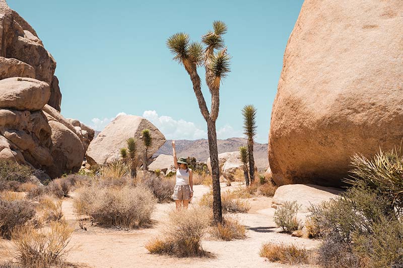
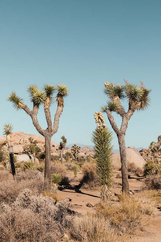
The park therefore gets its name from the iconic trees that grow en masse in the park. The official name of the tree is actually “Yucca Brevifolia” and only grows in a few places in the world. The largest population is found here in the Mojave Desert, where the park is located.
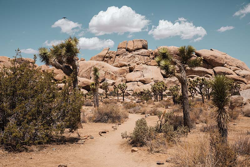
The park consists of 2 distinct desert landscapes: the lower Colorado desert in the southeast and the higher, more humid and slightly cooler Mojave Desert (where the Joshua Trees grow).
Where is Joshua Tree National park located?
The park where you find the most Joshua trees in the world is located in the U.S. state of California. Joshua Tree National park is 140 miles/225 km (+-2.5 hours drive) east of Los Angeles.
How do I get there?
You can enter the park through 3 entrances: “West Entrance Station” and “North Entrance Station”. Near the West Entrance you will find the Joshua Tree visitor center and near the North Entrance the Oasis Visitor Center.
You can also enter the park through a South entrance, passing the Cottonwood Visitor Center.
Coming from LA, for the Western and Northern entrances follow CA 62 towards the village of “Twentynine Palms”. For the Southern entrance, follow I 10 coming from LA and drive past Palm Springs.
Before your visit, it is best to check the Joshua Tree government website for the latest updates around closed roads and entrances in the park.
Where can I stay in the area?
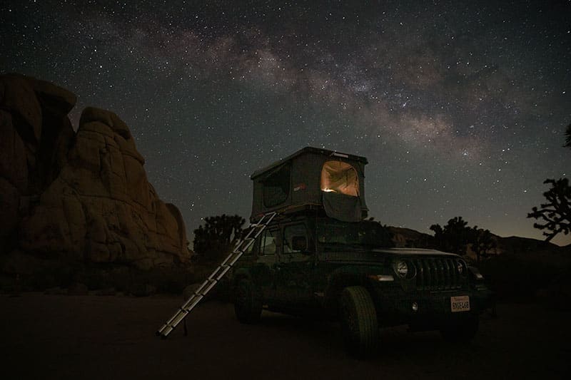
There are no hotels or air b&b’s in the park itself. You can only stay overnight in the park with your tent or campervan, at one of the designated “campgrounds”. Some campgrounds (including Hidden Valley) are first come, first serve so you can’t make reservations. Other campgrounds work exclusively with an online reservation system.
If you just travel by car then it is best to book an overnight stay close to the park. Where depends on which entrance you want to drive in/out of the park.
Near the North entrance, it is best to choose a sleeping spot in and around “Twentynine Palms“.
If you drive along the Western entrance then it is best to book something in “Yucca Valley“.
In addition, between the North and West entrances, you have several nice glamping spots in the desert, close to the entrances of the park.
If you go via the Southern entrance then “Indio” is the closest to the entrance of the park. This village also hosts the world famous music festival Coachella every year.
Check here for available accommodations during your travel period.
Do I need to take any special precautions for my visit?
Depending on the season in which you are going to visit the park, you need to adjust your preparation. After all, you are going to visit a desert area. In Joshua Tree, the summers are hot and the winters are cold, and it is dry and mostly clear year-round.
During the summer period, the park gets very hot with an average maximum temperature of 37 degrees Celsius. So provide light, sun-resistant clothing and a hat. Count on a minimum of 3.8 liters of water per day per person which you must carry with you when entering the park (no facilities in the park itself). Do not do any challenging hikes during hot days! Also take into account the presence of rattlesnakes so avoid overgrown trails and stay on the marked paths.
In winter, the average minimum temperature is 2 degrees Celsius. So provide warm clothing.
Mobile coverage is very limited in the park.
Good hiking shoes are highly recommended as well for instance like the Free Hiker or Swift R3.
Highlights and hikes in Joshua Tree
Skull Rock
The name may suggest it but this unique rock is shaped like a large skull. The skull rock is along the road so you do not have to hike. Although it is recommended to walk around the rock because the surroundings are beautiful.
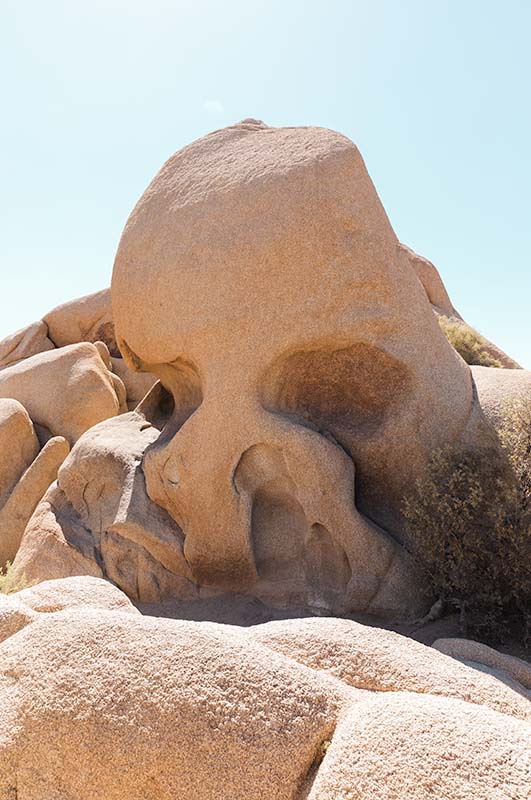
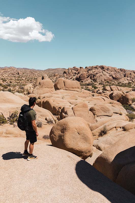
You pass the “Skull Rock” when driving into or out of the park along the North entrance. A parking lot is located on the opposite side of the rock. At this parking lot also starts a trail in a loop of 2.7 km that shows you the surroundings.
Hidden Valley
More towards the Western entrance, roughly in the middle of the park, is “Hidden Valley”. It is a breathtaking stretch of desert dotted with Joshua Trees and round rock formations. The Hidden Valley Nature Trail Trailhead is located just off Park Boulevard. This trailhead provides access to the Hidden Valley Nature Trail. It is an easy 1.5-mile loop through Hidden Valley on a dirt and rocky trail. This is a beautiful hike through a valley surrounded by unique rock formations.
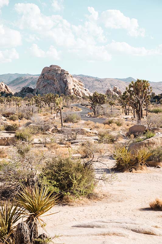
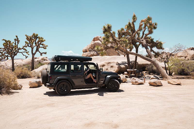
Will you be camping in the park? Then the campground at “Hidden Valley” is definitely a must. For us, this was one of the most beautiful (but also hottest) camping spots ever!
Hall of Horrors
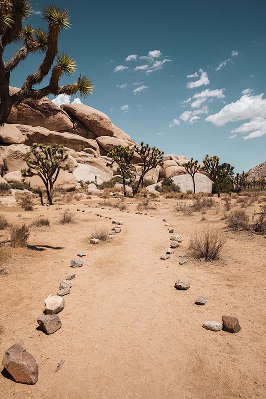
Don’t let the name fool or scare you, because the area around the “Hall of Horrors” is like a movie set from a Western. It was one of our favorite spots while visiting the park. We visited this spot sometime around noon but still there was beautiful light here for taking pictures.
You can walk around a bit on the designated trails and immediately feel like you’re on a movie set. The Hall of Horrors itself is a small slot canyon that is somewhat hidden. For this you have to scramble on some rocks until you reach this crevice between the rocks.
Barker Dam
Not far from “Hidden Valley” lies “Barker Dam”. From the parking lot of “Barker Dam” starts a loop trail of 1.8 km that leads you along the old small dam. It seems that if you look closely you can also see old rock paintings here. Unfortunately we did not see this during our visit.
Keys View
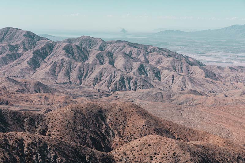
Just a 20-minute drive from Park Boulevard, along Keys View Road, you have a panoramic view of the Coachella Valley at the top of the Little San Bernardino Mountains. On the left, you can see the shimmering surface of the Salton Sea, which lies 70 feet below sea level. Looking to the right are the Santa Rosa Mountains behind Indio and the 3302-foot San Jacinto Peak behind Palm Springs. Further to the right, you can see the usually snow-capped summit of the 3506-meter-high San Gorgonio Mountain.
On a really clear day, you can see Signal Mountain in Mexico. Unfortunately, due to poor air quality in recent years, this is becoming increasingly rare.
